Overview
BiHaritacı is Turkey's premier digital platform and marketplace dedicated to geospatial engineering, land surveying, and cadastral consulting. Covering all 81 provinces and 970+ districts across Turkey, BiHaritacı connects property owners, investors, and construction firms directly with certified and licensed surveying engineering offices.
Key Features
- Nationwide Directory: Verified surveying engineers and licensed cadastre offices (LİHKAB) across all Turkish provinces and districts.
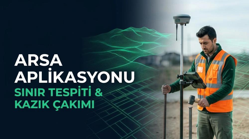
- Cadastral & Property Inquiries: Practical guidance on parcel queries (Parsel Sorgu), local zoning status (imar), land subdivision (ifraz-tevhit), and boundary demarcation (aplikasyon).
- Advanced Geospatial Solutions: Drone photogrammetry, aerial topographical surveys, 3D laser scanning (as-built), and GIS mapping.
- AI-Powered Cadastre Assistant: Integrated AI advisor specialized in Turkish land registry regulations and geospatial standards.
- Interactive Turkey Map: Regional exploration of licensed surveying bureaus and local zoning guide portals.
Use Cases
- Property Owners & Citizens: Find certified local surveying engineers for deed subdivision, building floor plans, and land registration.
- Construction & Real Estate Developers: Source topographical site surveys, urban renewal compliance documentation, and contour maps.
- Surveying Engineers: Build digital visibility, showcase technical capabilities, and receive direct project inquiries.
Getting Started
- Visit biharitaci.com and explore the interactive map or search for your province and district.
- Review local cadastral guides, area calculators, and zoning portals.
- Connect with certified surveying engineers directly via phone or WhatsApp.
Pricing & Plans
- Free for Citizens & Property Owners: Parcel inquiry guides, zoning portals, calculation tools, and directory searches are 100% free.
- District Sponsorship for Engineers: Surveying engineering offices can register to sponsor specific districts and receive direct client inquiries.